
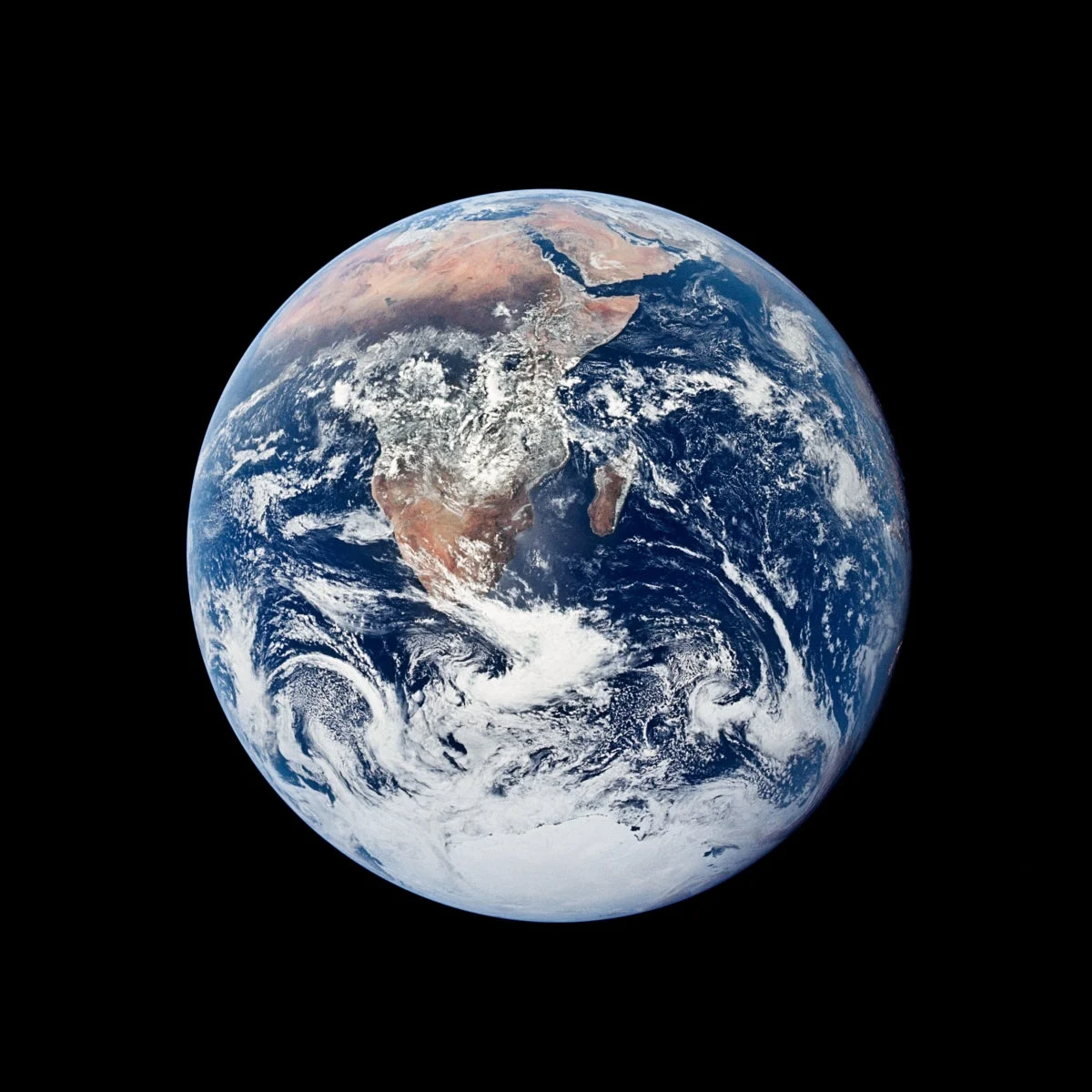
The Earth beneath our feet, often perceived as a solid, immovable foundation, is far more dynamic than it appears. While we are accustomed to the slow, relentless drift of tectonic plates—shifting mere centimeters per year—geoscientists have identified a much more dramatic phenomenon: the "True Polar Wander" (TPW). Recent research published in the journal Science reveals that the Earth’s outer shell, comprising the crust and the mantle, can periodically "slip" as a single unit around the liquid core. These episodes of rapid reorientation are not merely geological anomalies of the past; they are recurring events that have fundamentally reshaped our planet’s geography over the last 320 million years.
The Mechanics of a Planetary Slip
To understand True Polar Wander, one must distinguish it from the movement of the magnetic poles. The latter is driven by complex, turbulent fluid dynamics within the Earth’s molten outer core. In contrast, True Polar Wander is a mechanical reorientation of the entire outer shell.
Imagine the Earth as a spinning top. The planet’s rotation creates a slight equatorial bulge due to centrifugal force. When internal geological processes—such as the massive buildup of volcanic material or the subduction of tectonic plates—redistribute mass within the mantle, the Earth’s rotational stability is challenged. To maintain balance, the rigid outer shell (the 2,800-kilometer-thick crust and mantle) shifts its position to realign the heaviest masses as close to the equator as possible.
"The crust and mantle essentially slide over the core during a True Polar Wander event," explains lead author Mathew Domeier of the University of Oslo. This is not a subtle drift; it is a physical rotation of the Earth’s exterior relative to its axis of rotation, while the axis itself remains fixed in space.
Chronology of Cataclysmic Reorientations
The research team, which includes geoscientists Leandro C. Gallo, Chloé M. Marcilly, and geophysicist Trond H. Torsvik, analyzed ancient sea-level fluctuations to identify these dramatic shifts. By mapping geological data across the last 320 million years, they successfully pinpointed four distinct phases where the planet experienced rapid reorientation, reaching rates of at least 0.6 degrees of latitude per million years—equivalent to a minimum of 6.7 centimeters per year.
The identified windows of instability occurred during the following eras:
- 200 to 190 million years ago: A period of early Jurassic transformation.
- 150 to 140 million years ago: A mid-Jurassic shift.
- 100 to 90 million years ago: A Cretaceous reorientation.
- 30 to 20 million years ago: The most recent major event in the Oligocene/Miocene transition.
These findings suggest that while these events are sporadic, they are a fundamental part of the Earth’s long-term geological behavior. Interestingly, the study found no evidence of such shifts during the era of the supercontinent Pangea (320 to 250 million years ago), suggesting that Pangea’s movement was governed strictly by conventional plate tectonics rather than the wholesale "tipping" of the crust.
Methodological Innovation: Reading the Sea Levels
For decades, geologists attempted to trace polar wander by analyzing magnetic signatures trapped in ancient rocks. However, these methods often yielded contradictory results because the simultaneous, independent motion of tectonic plates scrambled the data.
Domeier and his team took a revolutionary approach: they used sea-level patterns as a proxy for physical rotation. When the outer shell shifts relative to the axis, the centrifugal force changes, causing the oceans to redistribute globally. While the liquid water reacts almost instantaneously, the solid seafloor adjusts with a significant time lag.
This creates a "quadrupole" signal—a four-field pattern of rising and falling sea levels that resembles the segments of a water polo ball. In regions moving toward the equator, sea levels rise, while in regions moving toward the poles, the sea retreats. To detect this, the researchers used the h3-py library to divide the Earth’s surface into a grid of hexagonal cells, each roughly 119 kilometers apart.
Filtering the Noise
The challenge was distinguishing this "water ball" signal from other global sea-level changes, such as the melting of ice caps. To isolate the signature of True Polar Wander, the team utilized a computational algorithm that subtracted global, uniform sea-level changes. Furthermore, they accounted for the rigidity of the crust by grouping adjacent cells, ensuring that the statistics weren’t skewed by localized geological features. The team performed 10,000 randomized simulations to ensure that the detected patterns were not merely statistical coincidences.
Expert Perspectives and Implications
The scientific community has lauded the study for its innovative methodology. Sabin Zahirovic, a geodynamicist at the University of Sydney, notes that the ability to link ancient coastlines to processes occurring in the deep Earth is a breakthrough. It allows researchers to better understand the long-term coupling between mantle convection, global climate change, and sea-level history.
However, the researchers remain cautious about the limitations of their model. Because the study relies on ten-million-year intervals, it functions like a low-resolution time-lapse video. Rapid, short-lived "flicker" events—such as a suspected shift 84 million years ago—might occur and resolve between the captured data points, rendering them invisible to the current model.
"We have to be humble about what we can see," says Domeier. He admits that he initially started the project expecting to find no evidence of rapid shifts, only to be surprised by the robustness of the signal. The oldest signal (200–190 million years ago) remains the most tentative, as it sits near the threshold of statistical significance, potentially representing a natural variance rather than a true tectonic slip.
Why This Matters for the Modern World
While the study focuses on deep history, the mechanisms it explores have modern relevance. We know that the geographic poles are currently shifting at a rate of about 10 centimeters per year—a speed that actually exceeds the average drift of tectonic plates.
While much of this modern movement is driven by the melting of polar ice sheets and the massive extraction of groundwater (approximately 2,150 gigatonnes in recent decades), the research into True Polar Wander provides the necessary context for understanding how sensitive the planet’s rotation is to mass distribution.
The study also highlights a "blind spot" in geology: the era prior to 320 million years ago. While we know the north-south orientation of older continents, the lack of data on their east-west positioning during the pre-Pangea era makes it impossible to apply this new method further back in time.
Conclusion: A Dynamic Planet
The revelation that the Earth’s outer shell has slipped and reoriented itself throughout history challenges our static view of the globe. By moving beyond traditional magnetic mapping and utilizing global sea-level data as a proxy, the Oslo team has provided a new lens through which to view our planet’s volatile past.
As we continue to observe the shifting poles in the modern era, the lessons from these ancient, massive reorientations serve as a reminder that the Earth is a complex, self-correcting system. The ground beneath our feet is not merely a stage upon which history unfolds; it is an active participant, constantly responding to the immense gravitational and rotational forces that govern our planet’s place in the solar system. Future research will likely refine this model, perhaps uncovering even more "flicker" events that have occurred in the blink of a geological eye, further revealing the restless nature of our home.