

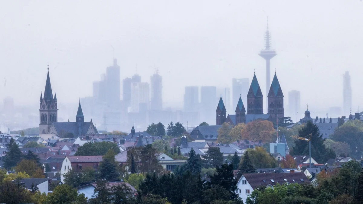
The German state of Hesse is currently in the grip of a volatile weather pattern as two successive low-pressure systems, "Luise" and "Manja," track across the region. With gusts exceeding 100 km/h and significant rainfall expected, authorities have issued urgent warnings to the public to exercise caution, particularly in wooded areas.
Main Facts: A Double-Barrelled Assault
The meteorological situation over Hesse has deteriorated rapidly. Following a relatively mild autumn, the atmosphere has shifted into a high-energy state. The arrival of Storm Luise, followed closely by the more powerful Storm Manja, marks a definitive transition into a more aggressive, "rowdy" phase of the season.
According to HR weather expert Tim Staeger, the primary concern is not merely the wind speed, but the combination of high gusts and the precarious state of the region’s flora. The lingering effects of the summer’s severe drought have left many trees weakened, making them susceptible to uprooting or snapping even under moderate wind pressure.
Current forecasts indicate that while the lowlands will experience sustained winds between 70 and 85 km/h, the mountainous regions—specifically the Upland and the Westerwald—are in the direct path of the most severe conditions. Here, wind gusts are expected to surpass the 100 km/h threshold, meeting the criteria for a significant autumn gale.
Chronology of the Weather Event
The weather pattern began to show its teeth on Friday afternoon. By evening, the first tangible impacts of the instability were recorded.
Friday: The First Casualties
The initial phase of the storm system, driven by the arrival of Luise, began to impact infrastructure across the state on Friday afternoon. Police and emergency services reported a series of minor incidents, including toppled construction fencing and broken branches.

The most serious incident occurred on a forest path between the districts of Klein-Welzheim and Froschhausen in Seligenstadt (Offenbach). A cyclist was struck by a large, wind-blown branch, pinning him to the ground. Local fire department personnel were required to conduct a technical rescue operation to free the individual. While the victim fortunately sustained only light injuries, the incident served as a grim reminder of the dangers posed by the gale-force winds.
Saturday: The Eye of the Storm
Saturday morning offered a brief, deceptive reprieve. As Luise moved eastward, a temporary lull in activity provided a brief window of relative calm. Meteorologist Tim Staeger aptly described this as a "pause between two low-pressure systems," warning that this was merely the calm before the second, more intense wave.
The second system, Manja, is significantly larger and more robust than its predecessor. Forecast models show the system intensifying throughout Saturday evening, with the peak impact expected to occur overnight into Sunday morning.
Sunday: Tapering Off
The forecast suggests that the worst of the weather will pass by Sunday afternoon. As Manja tracks away from the region, the atmospheric pressure will begin to stabilize, paving the way for a dramatic shift in the weather regime for the coming week.
Supporting Data: Rainfall and Precipitation Metrics
The current storms are not just wind events; they are also bringing a massive volume of water to a region that has been historically dry. This influx of moisture is expected to have a profound impact on local soil saturation levels.
Meteorological data provided by the state services indicates that, depending on the topography, significant rainfall totals are expected:

- Stau-Lagen (Windward Mountainous Regions): Areas such as the Westerwald and the Upland are expected to see cumulative rainfall between 50 and 70 liters per square meter.
- Central and Northern Hesse: These regions are projected to receive between 30 and 50 liters per square meter.
- Southern Hesse: This region, having been less affected by the storm track, is expected to see between 15 and 30 liters per square meter.
Tim Staeger noted that the state has already reached approximately two-thirds of the typical rainfall average for the entire month of October. With these two systems, most of Hesse is expected to exceed its monthly quota, effectively ending the lingering drought concerns but potentially increasing the risk of localized surface water flooding.
Official Responses and Safety Recommendations
The German Weather Service (DWD) has been active in issuing continuous alerts. The primary advice from civil protection agencies is to avoid non-essential travel and, most importantly, to stay away from forested areas.
The danger of "widow-makers"—branches that have been weakened but not yet severed—is significantly elevated during these storms. Even after the winds die down, these hanging branches can fall without warning. Municipalities across Hesse have urged residents to secure loose objects in gardens, such as trampolines, patio furniture, and parasols, which can become dangerous projectiles in 85+ km/h winds.
Implications: A "Golden" October Ahead?
In a striking display of atmospheric volatility, the turbulent conditions of this weekend are expected to be followed by a period of profound stability. As Manja exits the region, a high-pressure system is forecast to move in, acting as a "cork" in the atmosphere and blocking further low-pressure incursions.
The Return of the "Golden" Autumn
By early next week, the region will experience a "significant weather change." While Monday and Tuesday may still see residual isolated showers, the outlook is overwhelmingly positive. Meteorologists are predicting a return of the "Golden October," characterized by clearing skies and milder temperatures.
The forecast suggests that daytime highs will range from 10 to 14 degrees Celsius, with the potential for temperatures to climb to a mild 17 degrees in the southern parts of the state. While morning fog and low-lying stratus clouds may linger in the valleys—potentially obscuring the sun for long periods—higher elevations are expected to enjoy clear, sunny conditions.

Long-term Outlook
This transition represents a classic autumn pattern where the "rowdy" transition between summer and winter gives way to a stagnant, high-pressure-dominated phase. If the current models hold, this calm, golden weather could persist well into November, providing a much-needed respite after the recent, violent weather events.
Conclusion: Caution Remains Mandatory
While the prospect of a sunny, mild week is a welcome forecast for the residents of Hesse, the immediate priority remains the safety of the population during the next 24 to 48 hours. The combination of saturated soil and high wind speeds creates a high risk of tree failure.
Residents are encouraged to monitor local weather apps, stay informed via regional news channels like hessenschau, and heed all official warnings. The transition from the "ruppige" (rough) side of autumn to the "golden" side will occur, but it requires the public to navigate the current storm systems with vigilance and care. The memory of the cyclist in Seligenstadt serves as a stark warning: nature’s power is unpredictable, and in the face of these storms, safety must always take precedence over convenience.