

Istanbul, a metropolis of over 15 million people, stands at a precarious geological crossroads. New seismic research suggests that the danger lurking beneath the Marmara Sea is far more complex—and potentially more destructive—than previously calculated.
The New Geopolitical and Geological Reality
For years, the scientific community has looked toward the North Anatolian Fault Zone, which snakes through the Sea of Marmara, with deep concern. Istanbul sits just kilometers away from this volatile tectonic boundary where the Anatolian and Eurasian plates grind against one another.
Historically, hazard models relied on a relatively straightforward assumption: that a single, continuous "Marmara Fault" would rupture during the next major seismic event. However, a landmark study by Dr. Marco Bohnhoff, a leading geophysicist at the GFZ German Research Centre for Geosciences (GFZ) in Potsdam, has shattered this simplified view. Published in the Geophysical Journal International, Bohnhoff’s research reveals a far more intricate architecture of interconnected main and secondary fault lines.
This is not merely an academic update; it is a fundamental shift in risk assessment. If these fault segments do not act in isolation but instead trigger one another in a cascading sequence, the resulting seismic energy could far exceed the historical projections of a magnitude 7.2 to 7.4 earthquake. In a worst-case scenario, experts now believe a magnitude 7.6 event is entirely within the realm of possibility. On the logarithmic Richter scale, a 7.6 magnitude quake releases approximately double the energy of a 7.4, representing a catastrophic leap in destructive potential for the densely populated urban landscape of Istanbul.
Chronology: A History of Tension
The tectonic history of the region is defined by relentless stress accumulation. The North Anatolian Fault is one of the most active plate boundaries on the planet.
- The 1999 Izmit Earthquake: This devastating magnitude 7.6 event served as a wake-up call, killing over 17,000 people. It shifted the stress eastward and westward, effectively "loading" the segment directly beneath the Sea of Marmara.
- The April 2025 Event: A magnitude 6.2 earthquake struck west of Istanbul, serving as a jarring reminder of the region’s instability. While it was not the "Big One," it provided crucial data. Rather than relieving the pressure, analysis suggests the 2025 tremor partially redistributed stress, potentially increasing the load on neighboring, unruptured segments of the fault.
- The Current Outlook: Since the 2025 event, the city has existed in a state of heightened alert. Seismologists estimate a 40 to 60 percent probability of an earthquake with a magnitude of 7.0 or greater occurring in the coming decades.
Supporting Data: Why "Magnitude" Matters
To the layperson, the difference between a 7.4 and a 7.6 might seem marginal, but for structural engineers and urban planners, it is the difference between a controlled disaster and total infrastructure failure.
The energy released in an earthquake increases exponentially with each step on the magnitude scale. A 7.6 magnitude event produces significantly higher peak ground acceleration (PGA). In a city where much of the building stock predates modern, strict seismic codes—and where the proximity to the fault means seismic waves have little distance to attenuate—this extra energy could lead to the widespread collapse of buildings that were deemed "safe" under older, less rigorous hazard models.
Furthermore, the geometry of the Marmara Sea floor plays a cruel role. Previous GFZ research indicates that the specific orientation of the fault segments tends to direct seismic energy toward the Istanbul metropolitan area, acting like a megaphone that amplifies the shaking in the city’s residential and historic districts.
Official Responses and the "Human Factor"
The World Health Organization (WHO) has highlighted that between 2000 and 2023, earthquakes were the deadliest of all natural disasters globally. The implications for Istanbul are particularly grim. The WHO notes that vast swathes of the European region—including major medical and critical infrastructure facilities—remain woefully unprepared for a high-intensity event.
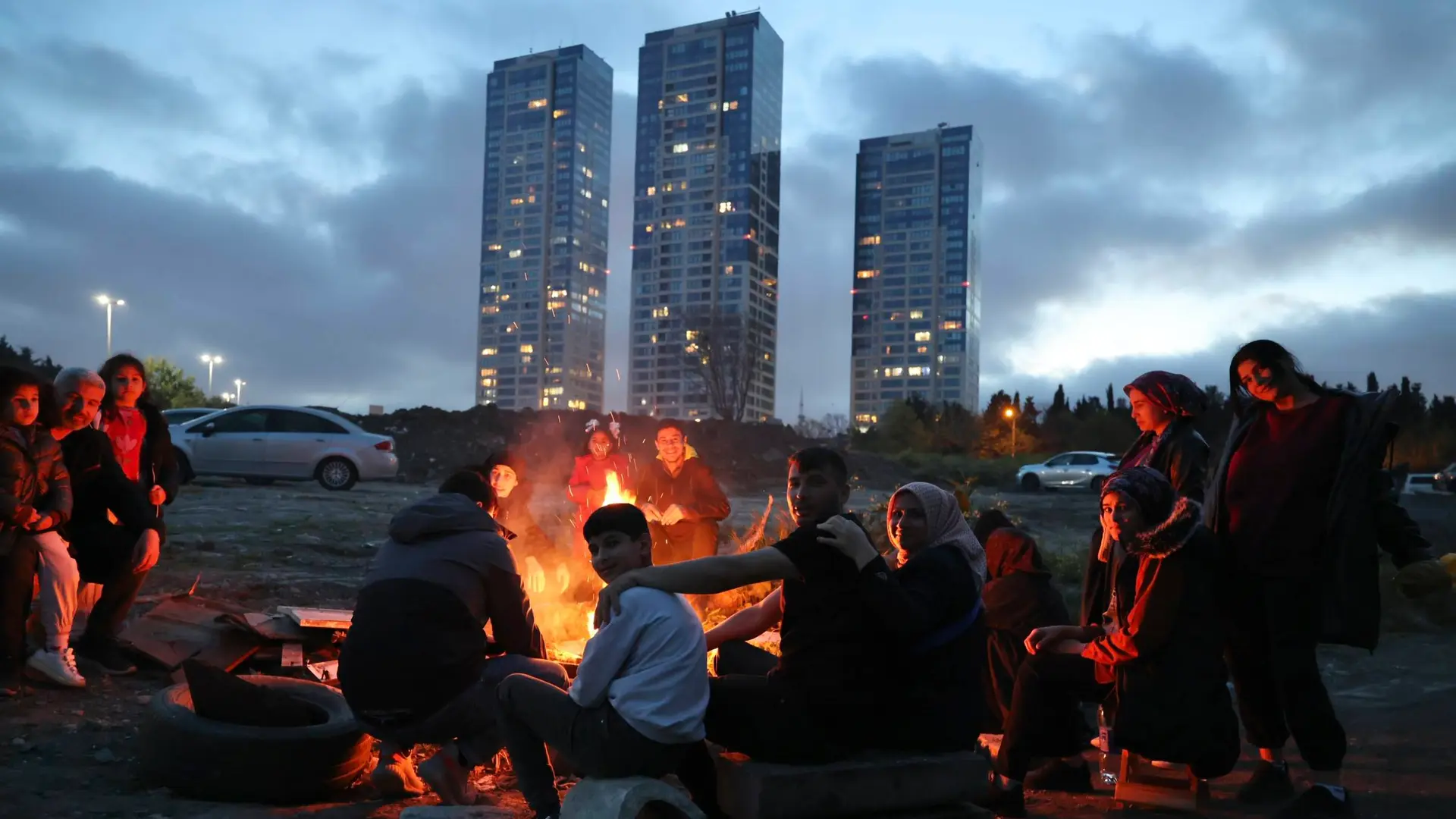
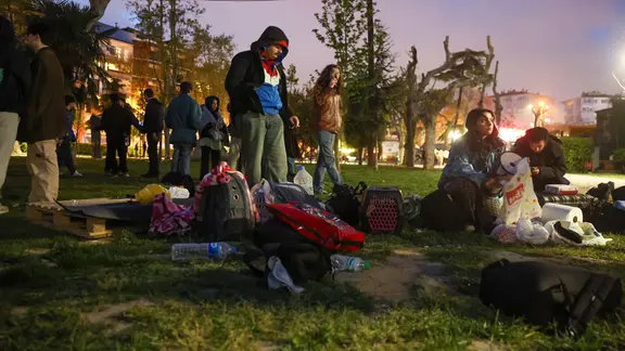
Local authorities in Istanbul have been caught in a difficult bind: balancing the need for massive, expensive urban renewal (demolishing and rebuilding non-seismic-resistant housing) with the economic realities of a city that acts as the financial engine of Turkey. Following the 2025 tremors, temporary emergency shelters were set up in public parks, and thousands of residents spent nights in the open, terrified that a larger, follow-up event was imminent. This psychological burden is a constant undercurrent in daily life for millions of Istanbullites.
Implications: The Race Against Time
The shifting scientific consensus has led to urgent calls for improved monitoring. Dr. Bohnhoff and his colleagues argue that the current network of sensors is insufficient. Because the most dangerous fault segments lie underwater, our "eyes" on the tectonic processes are limited.
1. The Need for Underwater Observatories
Real-time, seafloor-based geodetic and seismic monitoring is no longer a luxury; it is a necessity. By placing sensors directly on the fault line, scientists could track the creeping movement of the plates and detect subtle changes in stress that might serve as precursors to a rupture.
2. The Myth of "Prediction"
Despite advances, it is vital to manage public expectations: earthquake prediction remains scientifically impossible. We cannot know when the next great earthquake will strike. We can only map the potential intensity and the probability of occurrence. This creates a policy dilemma: how does a government justify the massive displacement and cost of relocating millions of people based on a 50 percent probability?
3. Strengthening Infrastructure
The focus must shift from "if" to "when." Retrofitting bridges, schools, hospitals, and residential apartment blocks is the only way to mitigate the death toll. The "new" potential of a 7.6 magnitude quake necessitates a complete re-evaluation of building codes. Infrastructure that was retrofitted based on a 7.2 standard may now be inadequate.
Conclusion: Living with the Unknown
The findings from the GFZ Helmholtz-Zentrum represent a call to action. By moving away from the simplistic model of a single fault and acknowledging the complex, multi-segment network beneath the Marmara Sea, we have gained a clearer—albeit more frightening—understanding of the threat.
Istanbul is a city that bridges two continents and two worlds. It is a place of immense history and rapid modernization. Yet, it sits on a foundation that is fundamentally in flux. As scientists continue to refine their models and provide better data, the responsibility rests with policymakers to ensure that the city of the future is capable of weathering the storm of the earth itself. The data is clear: the risk is higher than we thought, the energy release is potentially greater, and the time for comprehensive, aggressive seismic mitigation is running out.
The question remains: will the city be ready when the fault finally gives way? The science suggests that we are currently playing a game of catch-up with the tectonic forces of the earth. Whether we win or lose depends entirely on the actions taken in the years before the next great tremor occurs.